Stage planning
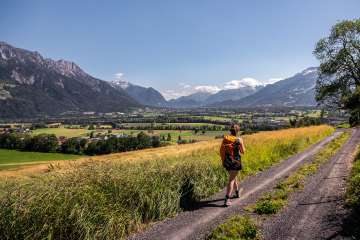
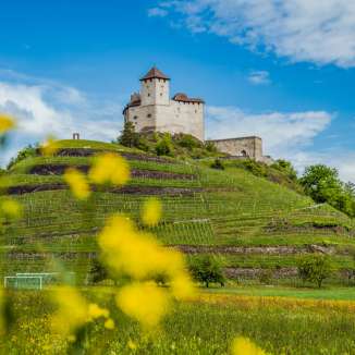
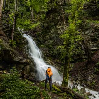
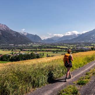
This is our suggestion on how to divide the Liechtenstein Trail into stages. At the end of each stage you will find a range of accommodation and restaurants in or near the place where you stop for the night. The Liechtenstein Trail can also be completed in the opposite direction, from north to south.
Day 1: Arrival (overnight stay optional)
Day 2: Balzers – Triesenberg
Distance: 14km / walking time: approx. 4 hours
Ascent/descent: 572 vertical metres / 184 vertical metres, min./max. altitude: 470m/901m
See detailed information on the stage
Day 3: Triesenberg – Vaduz
Distance: 10km / walking time: approx. 3 hours
Ascent/descent: 264 vertical metres / 692 vertical metres, min./max. altitude: 456m/1,109m
See detailed information on the stage
Day 4: Vaduz – Nendeln
Distance: 17km / walking time: approx. 5 hours
Ascent/descent: 571 vertical metres / 576 vertical metres, min./max. altitude: 450m/794m
See detailed information on the stage
Day 5: Nendeln – Ruggell
Distance: 15km / walking time: approx. 4 hours
Ascent/descent: 269 vertical metres / 289 vertical metres, min./max. altitude: 433m/541m
See detailed information on the stage
Day 6: Ruggell – Schaanwald
Distance: 19 km / walking time: approx. 5 hours 30 min.
Ascent/descent: 507 vertical metres / 479 vertical metres, min./max. altitude: 429m/683m
See detailed information on the stage
Additional tour: Malbun route
Distance: 7 km / walking time: approx. approx. 2 hours
Ascent/descent: 129 vertical metres / 520 vertical metres, min./max. altitude: 1600m/2000m
See detailed information on the stage
Our luggage transport service
The best way to enjoy the Liechtenstein Trail is to travel light. We therefore offer a handy luggage transport service to move your bags from hotel to hotel. Luggage transport generally applies to any accommodation in Liechtenstein that is registered as such. For bookings via AirBnB no luggage transport is bookable. More about the luggage transport service
Our overnight accommodation offers
Information about the Route
- Launch of the Liechtenstein Trail on 26 May 2019
- The trail goes through all 11 municipalities of Liechtenstein
- The route is 75 kilometres long
- Ascents/descents of 2,000 m/2,000 m
- Min./max. altitude of 429 m/1,103 m
- Overall walking time of 21 hours
- The trail can go from south to north or north to south
- The route exclusively consists of the existing network of paths and trails
- It is possible to begin the trail from every municipality
- Parts of the route are also accessible for people with limited mobility
Equipment
It is recommended to walk the Liechtenstein Trail with hiking boots. Especially the sections Triesen-Triesenberg, Triesenberg-Vaduz, Planken-Nendeln and Ruggell-Schellenberg contain steep sections.
Download Route
Route layout, Liechtenstein Trail (2.5 mb)
"LIstory" App
Discover the history of Liechtenstein in a new way from 26 May 2019 with the free "LIstory" app.

-
Contact
Liechtenstein Marketing
Äulestrasse 30
9490 Vaduz
T 00423 239 63 63
F 00423 239 63 01
info(at)liechtenstein.li
www.tourismus.li -
Map
<iframe src="https://www.google.com/maps/embed?pb=!1m18!1m12!1m3!1d2713.9326268932!2d9.519207315895247!3d47.13958597915659!2m3!1f0!2f0!3f0!3m2!1i1024!2i768!4f13.1!3m3!1m2!1s0x479b315daeef4d55%3A0xab3233639b31a867!2sLiechtenstein+Marketing!5e0!3m2!1sde!2sli!4v1497346745915" width="400" height="300" frameborder="0" style="border:0" allowfullscreen></iframe>
#liechtensteintrail: Impressions from the Liechtenstein trail